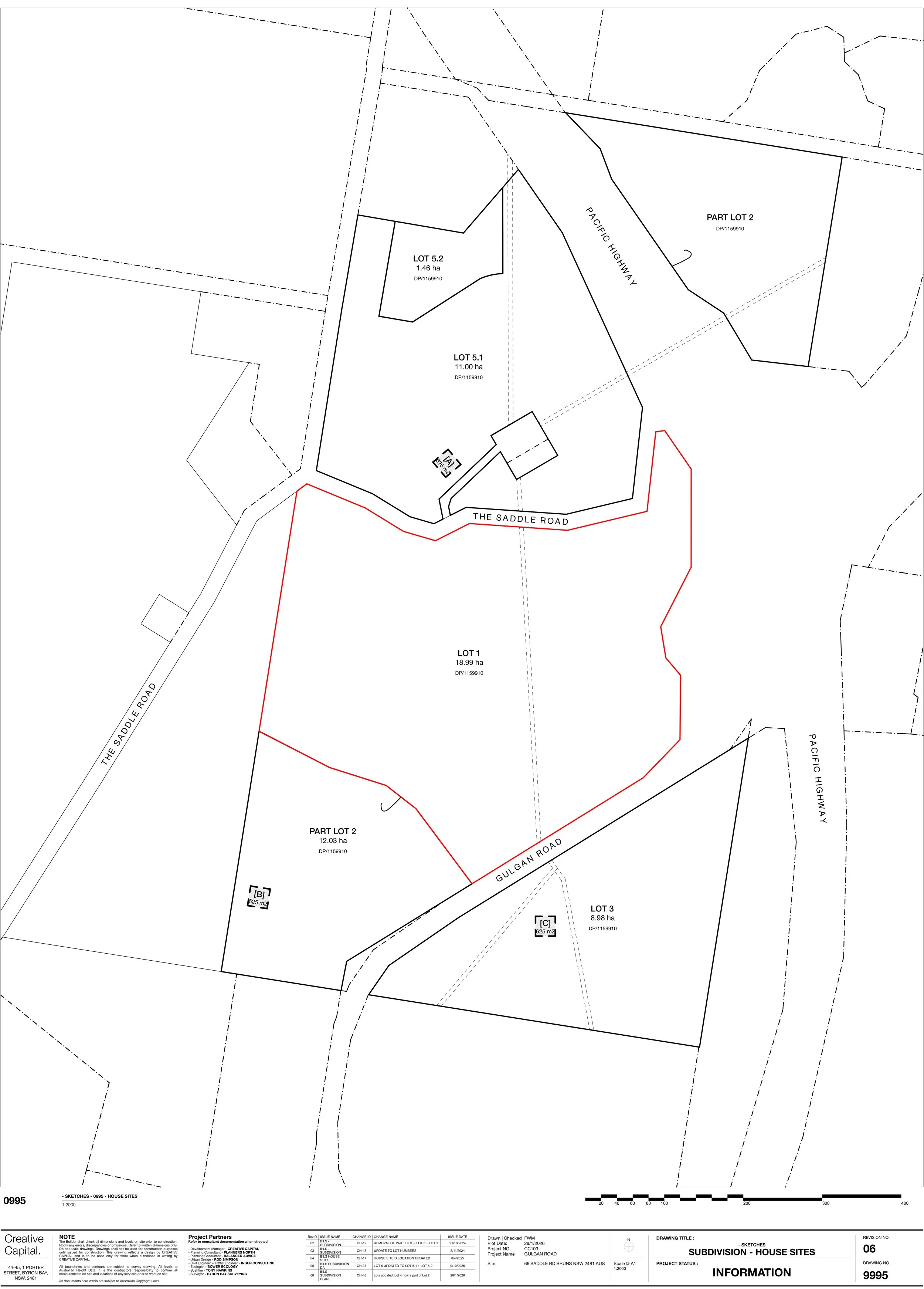
The 5-Lot Subdivision
The first subdivision of the land, what it creates, and where it sits in the bigger picture.
What is a subdivision?
A subdivision divides a single parcel of land into separate lots. Each new lot can be owned, sold and dealt with on its own, and is set up with its own legal access and connections to services. On rural land like this, a lot usually also carries a dwelling entitlement: the right to build a home on it, subject to the normal building approvals.
What was approved
This first subdivision, Development Application 10.2025.218.1, was approved by Byron Shire Council in March 2026. It divides the wider landholding into five lots and sets up the access and servicing each one needs. It's an early, practical step in laying the land out, not the final form.
It was granted as a deferred-commencement consent, which means the approval is in place but doesn't take effect until a specific condition is met first, in this case the start of the approved group home on the site (below). It's a normal way of sequencing approvals so things happen in the right order.
One of the five lots holds the three BILS employment precincts and the conservation land covered by the DCP. A further subdivision of the employment precincts themselves is expected in future, as the precinct moves toward delivery, and that will go through its own assessment.
Map: Subdivision Plan
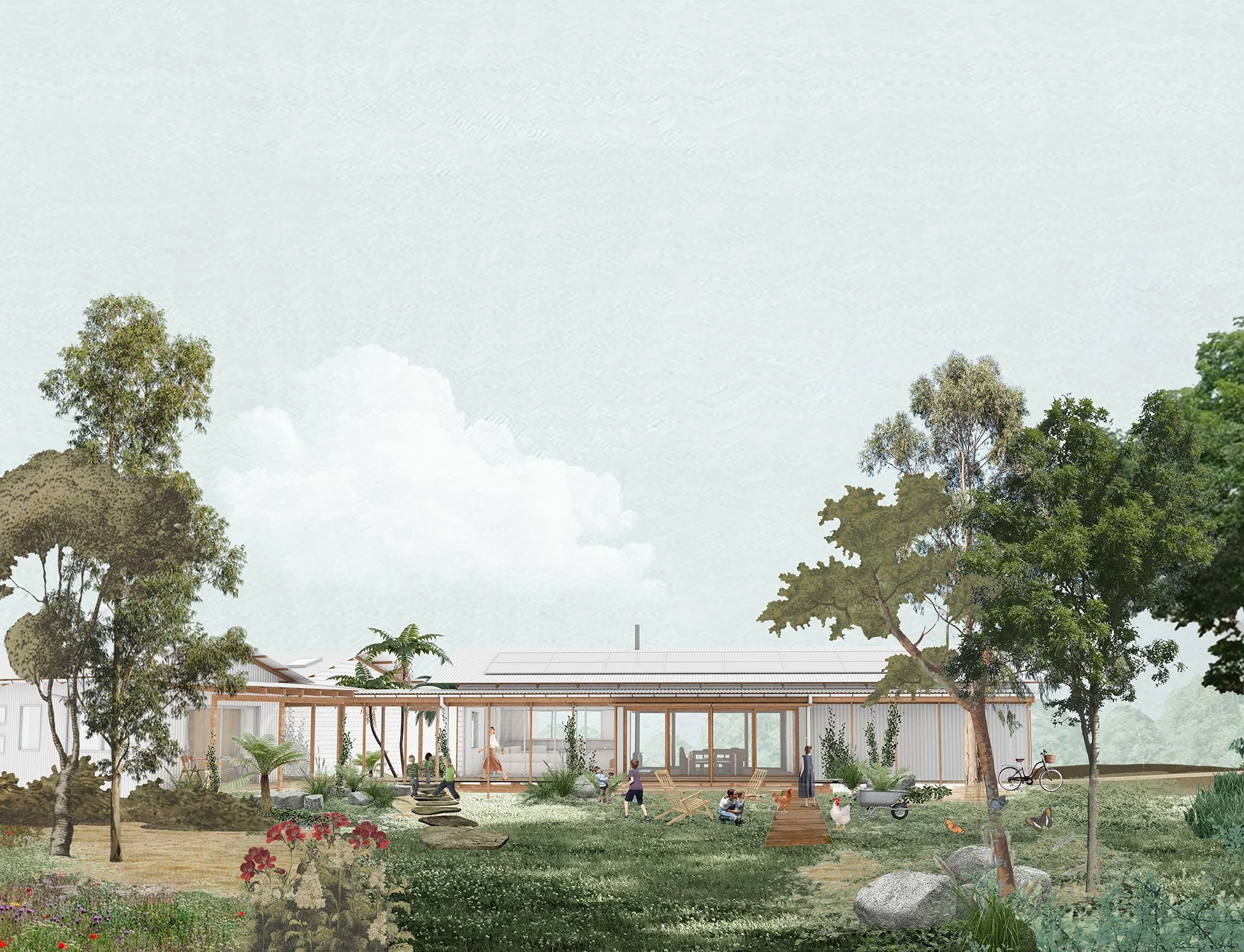
The Group Homes lot
One of the five lots, approximately 1.5 hectares, has been set aside for a not-for-profit group home: long-term, affordable housing for women and children, delivered by Byron Shire Community Housing
It's created and serviced specifically for that purpose, so the housing is secured on the land.
Image: Architectural render for the Group Homes